Reading the landscape before choosing a walk
A map can tell you more than the distance of a walk. Read it alongside a current route description to understand what the afternoon will feel like.
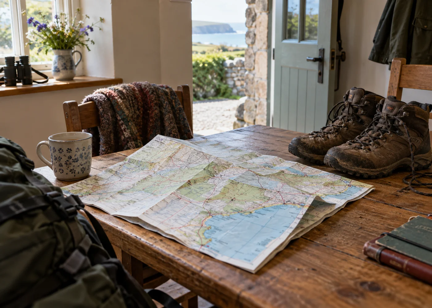
Start with the shape of the outing
A circle on a map has a satisfying appearance, but a circular walk is not automatically the most suitable choice. An out-and-back route lets you control the distance and return over ground you recognise. A linear route may need transport at the far end. Decide which arrangement makes the day simpler before becoming attached to a particular view.
Find the start and finish in relation to the cottage. A route advertised as a village walk may begin beyond the village, or require a section along a road before reaching the countryside. Include that connecting distance when judging the outing. The published mileage may not describe the journey from your front door.
Look for the practical stopping points too. A bench, visitor centre or settlement can be useful, but check whether it is accessible from the path. A café symbol nearby does not guarantee that you can reach it without a detour. Current opening information belongs alongside the map, rather than being inferred from it.
Notice what distance leaves out
Height changes deserve attention even on a short route. Closely spaced contour lines indicate steeper ground, but using a map confidently takes practice. If that information is unfamiliar, choose a clearly described easy route and learn the map alongside the written directions. A holiday afternoon is not the time to discover that a short line includes a climb nobody wanted.
Surface and obstacles are less obvious. A mapped path may include steps, stiles, roots or sections that become muddy. Look for recent information from the route's land manager or a walking organisation. For a wheelchair, mobility aid or pushchair, seek specific access details rather than relying on the word gentle.
Read the map key rather than guessing what a line means. Roads, tracks and public paths are not interchangeable, and access arrangements vary. Keep to the route you have established as suitable and follow current signs on the ground. An attractive shortcut across a field is not justified simply because the destination is visible.
Try reading a small section first
Before committing to an unfamiliar longer route, use the map around the village. Match a road junction, a stream and a church to what you can see. This is a gentle way to understand the scale and symbols without having to solve a navigation problem far from the cottage. It also reveals whether the route description and the map are easy for you to use together.
At a junction, stop and orient yourself before continuing. A few moments spent confirming the direction are more pleasant than discovering a wrong turning after a climb. If the information is unclear, returning to a known point may be the sensible choice. Avoid treating the presence of footprints as proof that they lead where you intend.
Do not share one phone between the whole group without thinking about what happens if people separate. For an ordinary short walk, a shared understanding of the route and turning point may be enough; more remote plans call for preparation appropriate to the setting. The map should support everyone, not become knowledge held by only the keenest walker.
Take information you can use outside
If you rely on a phone, make the relevant route information available before leaving a reliable connection and consider a backup appropriate to the walk. A saved screenshot may omit the area just beyond its edge. Zoom out while planning so that you understand where the path sits among surrounding roads and villages.
Choose a walk that leaves margin for slower progress. Time estimates do not include every photograph, conversation or stop to remove a stone from a shoe. The value of a map is that it helps you make a comfortable choice, not that it obliges you to complete the neatest-looking circuit.